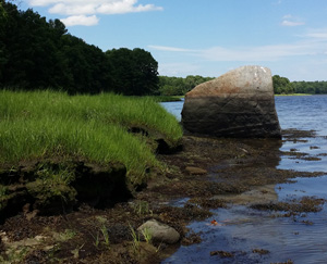
 A suite of information and decision-support tools for landowners, communities, and policymakers interested in leveraging the benefits of buffers is now available thanks to a two-year effort to collect and integrate information about buffer protection and management. Buffers, which are naturally vegetated strips of land directly upslope of a water body, can improve water quality, enhance flood and storm surge protection, and provide critical habitat for wildlife. “Buffers Options for the Bay” or “BOB” was led by Cory Riley, the Reserve Manager at New Hampshire’s Great Bay National Estuarine Research Reserve, and involved more than two dozen communities and organizations in exploring the science, policy, and economics of using buffers to protect the Great Bay region.
To learn more about the project, check out the following resources:
- Visit the Buffer Options for the Bay website. The site provides a comprehensive overview of the project and contains an array of useful products, including decision-support tools, maps showing priority buffer areas, and technical reports about buffer science, economics, and policy options.
- Join us for a webinar on March 27, 2018 from 2-2:45pm. Cory Riley will share the project approach and findings in our monthly Collaborative Science for Estuaries Webinar Series. Register here.
- Learn more about the project in an article published by The Fishing Wire.
This work was funded by the National Estuarine Research Reserve System Science Collaborative, which supports collaborative research that addresses coastal management problems important to the reserves. The Science Collaborative is funded by the National Oceanic and Atmospheric Administration and managed by the University of Michigan Water Center. Learn more at nerrssciencecollaborative.org/ or http://coast.noaa.gov/nerrs/.