Implementing Adaptation: Land Use Regulations & Infrastructure Policies to Implement Great Lakes Shoreland Area Management Plans
Implementing Adaptation: Land Use Regulations & Infrastructure Policies to Implement Great Lakes Shoreland Area Management Plans
Implementing Adaptation: Land Use Regulations & Infrastructure Policies to Implement Great Lakes Shoreland Area Management Plans
Project Team
- Richard K. Norton (PI)
- Zachary Rable - University of Michigan
- Guy A. Meadows - Michigan Technological University
- Harry Burkholder, Katie Sieb - LIAA
Project Summary
The Great Lakes Water Levels Integrated Assessment aimed to help decision makers address the challenges and opportunities posed by Great lakes water level variability.
This research leveraged previous work by the researchers, conducted in collaboration with the non-profit planning firm LIAA, developing technical methods and planning techniques to improve efforts by Great Lakes coastal localities in Michigan to analyze and incorporate information regarding Great Lakes shoreline dynamics into their local master plans and shoreland area management plans. These kinds of plans are typically implemented through the adoption of local land use regulations, such as zoning codes, and infrastructure policies, such urban service boundaries for the provision of water and sewer. Both of those implementation mechanisms typically involve substantial additional analysis and investment beyond the adoption of the master plan.
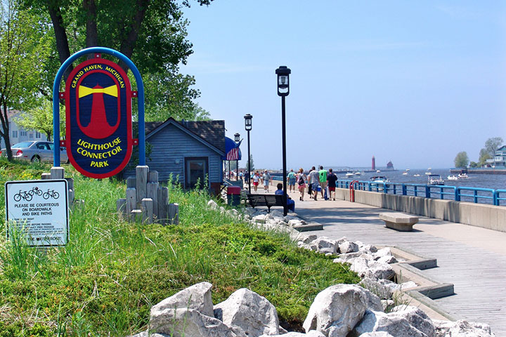
Through the Integrated Assessment, the team continued collaborting with two Michigan municipalities (the City of Grand Haven and Grand Haven Charter Township) to assess the issues and needs related to the development and adoption of regulations and policies that are needed to implement their local plans.
Resources
- Integrated Assessment Proposal Summary (PDF)
- Planning Grant Report (PDF)
- Integrated Assessment Phase 1 Report (PDF)
- Integrated Assessment Phase 1 Presentation - May 17, 2016 (PDF)
- Integrated Assessment Phase 2 Report (PDF)
- Webinar Series
- Grand Haven Township Master Plan approval draws closer" (Grand Haven Tribune, 4/7/2016) notes the IA work's role in assisting with regulation development
- Resilient Great Lake Coast (Web resources) provides resources to support local planning in coastal communities
- Interview: Shoreline communities look for better ways to address rise and fall of Great Lakes (Michigan Radio, 5/10/17)
This project received a $50,000 Integrated Assessment Grant in 2015.