Rising Waters, Rising Equity: Learning from Detroit’s Infrastructure
Rising Waters, Rising Equity: Learning from Detroit’s Infrastructure
Rising Waters, Rising Equity: Learning from Detroit’s Infrastructure
Program: Catalyst Grants
Program details » | All Catalyst Grants projects »
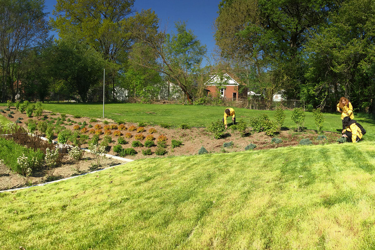
Flooding is one of the most severe climate risks facing cities across the United States, threatening infrastructure, ecosystems, and community well-being. As precipitation intensifies and urbanization expands, Green Stormwater Infrastructure (GSI) is increasingly used to reduce flood risk, support biodiversity, and deliver benefits such as recreation and neighborhood revitalization. Yet GSI can also drive “green gentrification,” displacing lower-income residents as greening raises property values.
This challenge highlights the need for research-based approaches that center equity in GSI siting, engagement, and policy design. Detroit offers a critical case. Twentieth-century initiatives such as Urban Renewal, the national highway system, and Economic Opportunity Zones reshaped the city in ways that often deepened economic and environmental inequities for marginalized communities. By developing a longitudinal, data-driven understanding of past decisions, this project aims to help Detroit avoid GSI-related displacement seen in other cities.
Much of Detroit’s planning history remains undigitized. The team will vectorize 8–10 planning documents from the 1950s–2000s to enable geospatial analysis of policy impacts on land use, housing, vacancy, and wetland loss. In parallel, interviews with infrastructure practitioners—supported by the Southeast Michigan Council of Governments (SEMCOG)—will capture current priorities in flood resilience and GSI. Together, this mixed-methods work will inform a white paper and produce actionable guidance for equitable GSI policy and practice within SEMCOG’s regional resilience framework.
Project team: Lauren Mullenbach, PI (Michigan Sea Grant, SEAS), Julie Arbit, co-I (Center for Social Solutions), Earl Lewis, co-I (Center for Social Solutions)