Is Marsh Surface Tracking Sea Level Change? Developing Tools and Visualizations for Sentinel Site Data
Is Marsh Surface Tracking Sea Level Change? Developing Tools and Visualizations for Sentinel Site Data
Is Marsh Surface Tracking Sea Level Change? Developing Tools and Visualizations for Sentinel Site Data
Program: NERRS Science Collaborative
Program details » | All NERRS Science Collaborative projects »

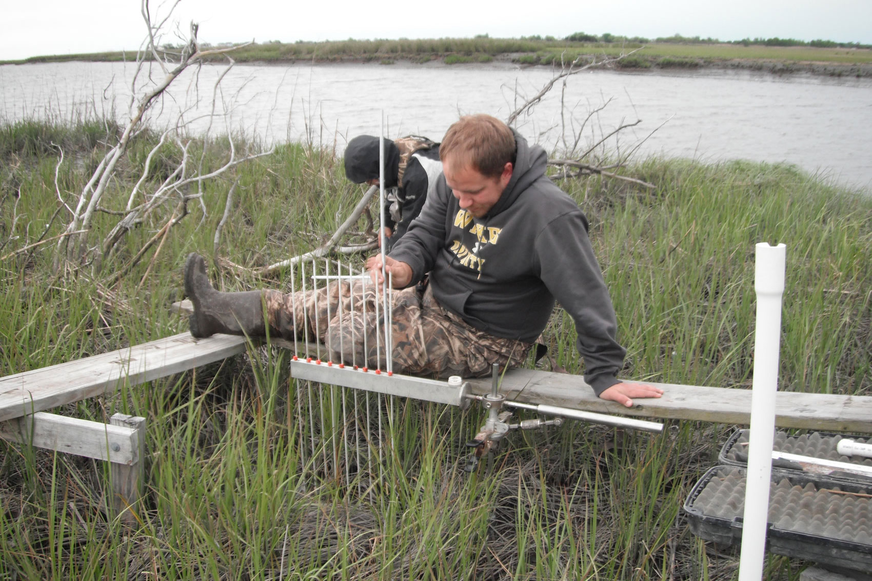
Photo credit: Delaware NERR
Why this work?
Coastal marshes provide a range of valuable ecosystem services, including buffering coastlines from storms, improving water quality, and providing habitat to a wide range of organisms. However, marshes are increasingly under threat from sea level rise, and coastal managers are struggling to understand if different marsh plant communities can keep pace, or are likely to drown with the rising seas. To better understand the local impacts of climate change, the National Estuarine Research Reserve System expanded their long term monitoring efforts to include a Sentinel Site Application Module. A centerpiece of the Sentinel Site program is the use of highly specialized equipment—called Surface Elevation Tables, or SETs—to precisely measure and track changes to the marsh surface height over time. However, handling, analyzing, and interpreting Surface Elevation Table data is challenging and requires skills and statistical techniques that have not been standardized.
About this project
The reserve system has identified a need to increase its collective capacity to process and synthesize Surface Elevation Table data and to create visualizations and educational tools for scientists, managers, and the public. This project addresses these needs by developing standardized tools to quality-check Surface Elevation Table data, perform trend analyses, and generate informative visualizations for a variety of technical and non-technical audiences. The team’s collaborative approach to developing statistical methods and outreach products will build both technical expertise and broader understanding of how the data can be used to better understand how sea level rise is impacting marshes.
Project lead and contact
Kim Cressman, Grand Bay National Estuarine Research Reserve, [email protected]
To learn more about this project, view the project factsheet (PDF).