A Comprehensive Stressor-Response Model to Inform Ecosystem Restorations Across the Great Lakes Basin
A Comprehensive Stressor-Response Model to Inform Ecosystem Restorations Across the Great Lakes Basin
A Comprehensive Stressor-Response Model to Inform Ecosystem Restorations Across the Great Lakes Basin
Program: Water Center Great Lakes Grants
All Water Center Great Lakes Grants projects »

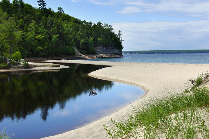
Photo Courtesy of Michigan Sea Grant
Investigators
Lucinda Johnson, University of Minnesota-Duluth
J. David Allan, University of Michigan
Jan Ciborowski, University of Windsor
Project Summary
Successful restoration of the Great Lakes requires comprehensive data capable of depicting stress types and sources, enabling the prioritization, execution and evaluation of restoration actions. Essential needs are identifying causes of impairment and locating “reference” conditions that can guide restoration targets and indicate success.
Two projects have recently characterized human activities across the Great Lakes Basin. Together, these datasets can identify stress types that threaten biota anywhere in the basin.
- The Great Lakes Environmental Indicators (GLEI) project (and daughter product Watershed Stressor Index - WSI) maps and ranks risks of land-derived stressors for each watershed basin wide.
- The Great Lakes Environmental Assessment and Mapping (GLEAM) project depicts individual and composite threats of 34 stressors summarized for 1-km2 pixels across the lakes.
The project team are integrating the GLEI and GLEAM maps to produce a single composite stressor map that spans the entire basin. The team is using existing biological data, collected by a variety of partners, to validate the maps and quantify stress-response relationships. Important project outputs include:
- An evaluation of different approaches for quantifying the human disturbance gradient, ultimately determining if the simpler WSI approach performs as well as more time and data intensive GLEI and GLEAM approaches.
- A suite of indicators for nearshore and open water habitats, complementary to those developed for coastal habitats, that can be used to identify areas for restoration and protection and to evaluate remediation efforts.
- A step-by-step guidance tool to a) help users identify maps and indicators that will best address specific questions related to the type and distribution of anthropogenic stress and b) interpret that information's meaning and limitations, including uncertainty.