Regional, Spatial, and Temporal Mapping of Air Pollution in Detroit
Regional, Spatial, and Temporal Mapping of Air Pollution in Detroit
Regional, Spatial, and Temporal Mapping of Air Pollution in Detroit
Project Team
- Stuart Batterman - School of Public Health
Project Summary
In 2011 the Graham Institute partnered with the non-profit organization Data Driven Detroit (D3) to initiate the Detroit Sustainability Indicators Project. The overall project consisted of six U-M faculty-led research teams that worked to develop data, tools, and analysis to help decision makers in Detroit consider sustainability in their planning and redevelopment efforts.
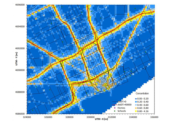
This team used new modeling to improve estimates of near-road exposure to traffic-related air pollution in the city. These data help identify potential “hotspots” and critical locations, like schools, hospitals, and parks, where children and other susceptible individuals may be highly exposed to air pollutants linked to asthma and cardiovascular disease.
This project received a $40,000 Detroit Sustainability Indicators Project Grant in 2011.